Evidence from the ground.
Photos, locations and community reports give local teams a place to begin.
DHO COLLABORATION · A NATIONAL VISION
AI-assisted larvae detection. Connected surveillance. A national vision for early prediction—bringing health authorities, hospitals, laboratories and communities together.
Developed with purpose.
In collaboration with DHO.
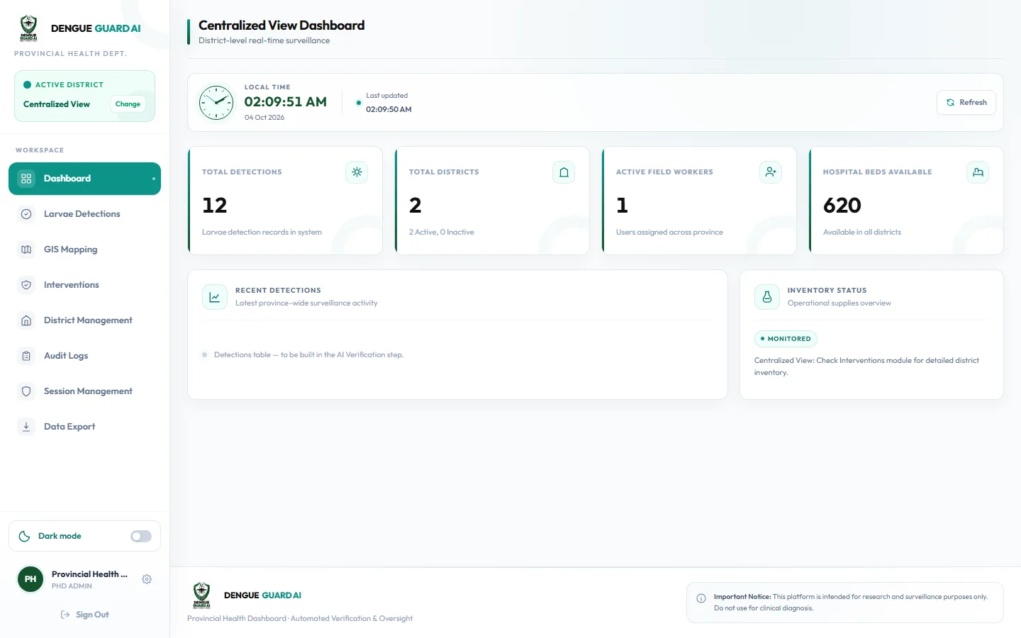
The real PHD dashboard. Screen values are demonstration data.
Dedicated roles
Connected modules
Connected vision
01 / THE IDEA
A field observation matters. A lab result matters. An available hospital bed matters. Together, they can tell a much clearer story.
Dengue Guard AI brings these separate pieces into a shared workflow—from the person reporting a concern to the district coordinating action and the province overseeing the bigger picture.
Meet the purpose behind the platformPhotos, locations and community reports give local teams a place to begin.
Field observations meet lab records, hospital capacity and operational resources.
Relevant people receive alerts, assignments and the information they need to act.
02 / HOW IT CONNECTS
Each role has a purpose. DHO connects the district’s information and action. Choose a role to follow its part of the story.
THE DISTRICT CONNECTING POINT
DHO brings local observations, healthcare information and community participation into one district view.
A short, interactive walkthrough.
03 / THE FEATURES
Explore AI-assisted detection, geospatial surveillance and seven connected workspaces—built around coordinated public-health action.
Dedicated sign-in and role-based journeys give each participant their own workspace.
Identity & role accessDistrict oversight, centralized surveillance views and resource visibility for the PHD tier.
Provincial dashboardReports, mapping, interventions, chemical inventory, hospital alerts and local assignments.
DHO command centreAudit records and exports make operational activity easier to review and share.
Audit & accountabilityCitizens report concerns. Volunteers submit task evidence for DHO review and certificates.
Citizen & volunteer participationCamera-led reporting, GPS locations, report history and dispatch notices in a mobile-ready workspace.
Field surveillance & geo-taggingHospital bed and platelet updates help districts understand capacity alongside incoming alerts.
Hospital capacity & alertsDedicated test-record submission and tracking bring laboratory information into district review.
Laboratory recordsOur trained image model distinguishes Aedes larvae, Non-Aedes larvae and non-larva images to support expert review.
Trained image modelEarly outbreak prediction brings historical dengue cases and environmental signals together for district-level risk forecasting.
Next phase · LSTM forecastingHouse, Container and Breteau indices turn complete inspection records into a clearer view of local breeding activity.
Inspection-based surveillanceTemperature, rainfall and humidity add environmental context to the district surveillance picture.
Environmental contextSatellite imagery extends surveillance to larger potential standing-water habitats and environmental patterns.
Next phase · satellite intelligenceSeven connected portals and a trained image model power the project today. LSTM forecasting and satellite analysis are the next phase.
GEOSPATIAL INTELLIGENCE
Explore the app’s own GIS interface: field-report markers, dashed surveillance zones, source filters and report details.
Real portal component and street map. The public example uses the location shown in your supplied screenshots; it does not expose live private records.
Open GIS image04 / INSIDE THE PLATFORM
Choose a role and browse the real portal tabs directly below. Open the full-size screen only when you want a larger view. Records and forms stay view-only.
PROVINCIAL OVERSIGHT
The PHD workspace brings district information into a centralized view for oversight and resource visibility.
05 / ABOUT THE PROJECT
We’re a Computer Science team at Air University, Islamabad, united by a simple belief: better-connected information can support better-coordinated dengue prevention.
Dengue Guard AI connects seven role-specific workspaces with trained computer vision, geospatial surveillance and a vision for early prediction. Our collaboration with the District Health Office, Islamabad, keeps real public-health coordination at its centre.
Field evidence, district coordination and healthcare readiness—together in one platform.
FORMAL PUBLIC-HEALTH COLLABORATION
In collaboration with the District Health Office, Islamabad.
The signed coordination letter supports Dengue Guard AI through proposed data access, strategic guidance and epidemiological data verification. It connects our academic work with the needs of public-health teams.
06 / THE PEOPLE BEHIND IT
Developed at Air University, Islamabad, with guidance from our supervisor and a shared commitment to useful public-health technology.
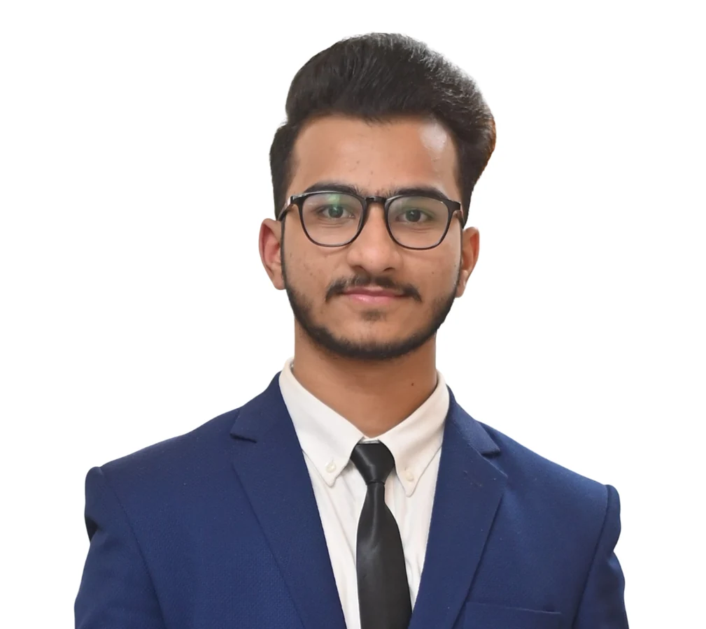
Computer Science · Class of 2027
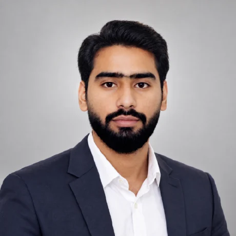
Computer Science · Class of 2027
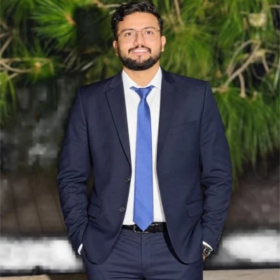
Computer Science · Class of 2027
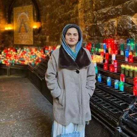
GUIDANCE THAT MAKES A DIFFERENCE
Final Year Project Supervisor · Air University, Islamabad
07 / LET’S CONNECT
Interested in a platform walkthrough, public-health collaboration or research partnership? We’d be glad to connect.
iamfarhanafzal204@gmail.comConnect on LinkedIn Air University, Islamabad, PakistanYOUR QUESTIONS, ANSWERED
Seven connected portals bring provincial and district health authorities, hospitals, laboratories, field workers, citizens and volunteers into one coordinated dengue-surveillance workflow.
Our trained image model distinguishes Aedes larvae, Non-Aedes larvae and images that do not contain larvae. It supports surveillance and expert review; identifying Aedes does not mean a mosquito is infected with dengue.
Switch between seven real portal interfaces and use their own navigation, tabs and filters directly on this page. Open full-size screen gives you more space. The isolated public copy uses view-only example records and never connects to private accounts.
The app maps geo-tagged reports as clickable markers and dashed surveillance zones. Source and risk filters help officials focus their review. Click a marker to inspect the location and report details, just as in the operational interface.
Move dengue prevention from reactive to proactive. The next phase combines LSTM-based forecasting and satellite intelligence with the connected surveillance platform, supporting earlier district-level warning and a wider national vision.
The District Health Office, Islamabad, has issued a formal collaboration letter supporting the project through proposed data access, technical guidance and epidemiological data verification. Read the signed letter in the collaboration section.
Read the coordination letterYes. Use the install button in a supporting browser to keep this website as an app. On iPhone or iPad, use Safari’s Share menu and Add to Home Screen. Your saved showcase can also be viewed offline.